

Engage - Consumer Engagement Platform
- PWA
- Multi-tenant
- Campaigns


The Haiti Population Explorer is a public Atrax product that puts the 2024 population estimates (source: IHSI and DSDS) on an interactive map. It covers all 570 communal sections, with the national total of 11.8 million people always in view.
Users can switch between sections, communes and departments, filter by place, and move between a map view and a table view. Planners, NGOs and researchers get the figures they need without downloading and cleaning raw files.
It is also our own proof of what GIS and clear data design can do for organisations working across Haiti.
Population figures exist, but they are hard to use. They sit in documents and tables that do not show geography, and teams planning a distribution, a survey or a programme need to see where people live and compare areas quickly.
We built a fast web map with choropleth layers at three administrative levels, linked filters and a table view that stays in sync with the map. Key figures update as the user explores, and the interface works on ordinary phones and connections.
 Interactive map of all 570 communal sectionsFilters by department, commune and sectionChoropleth layers for sections, communes and departmentsMap and table viewsKey national figures (11.8M total)2024 estimates from IHSI and DSDSMobile-friendly interfacePublic, free to use
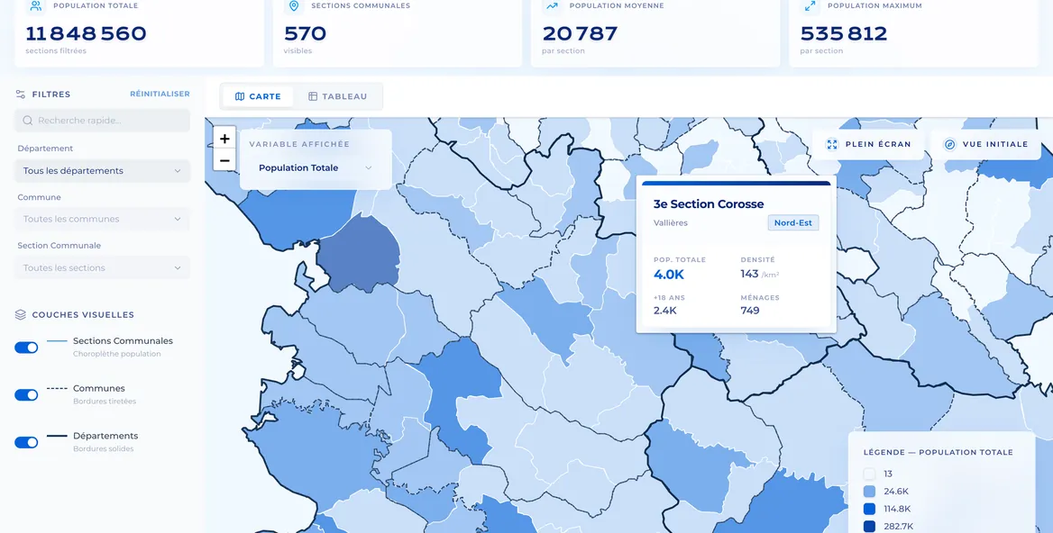
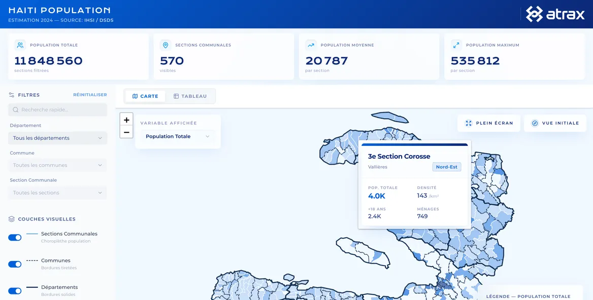
Teams can now answer "how many people live here?" in a few clicks. The explorer supports planning, targeting and reporting, and it shows the standard of mapping work we deliver for clients.

 5.0
We open it before every planning meeting. Seeing the numbers on the map saves us hours of digging through tables.

 Talk to Us


Newsletter