
Administrative Mapping
Department, commune and communal section boundaries, properly linked.

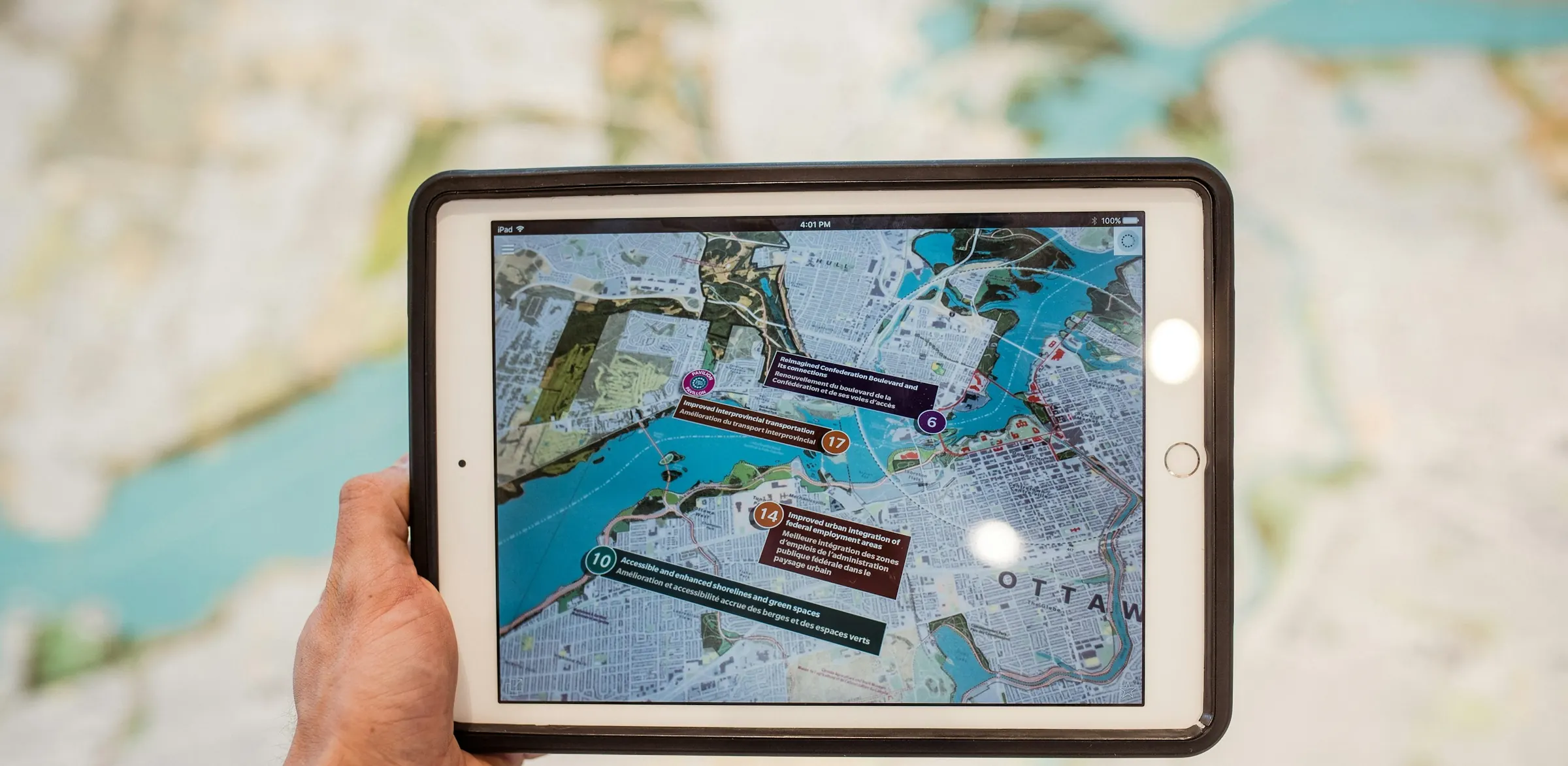
Where something is often decides what should be done about it. We turn addresses, outlets and survey points into maps that people can read, filter and use, down to the communal section level.
Our Haiti Population Explorer covers all 570 communal sections with department, commune and section layers. Our Territory Checker bot answers a location sent over Telegram with the right territory and nearest warehouse in seconds. Maps work best when they reach people where they already are.
We combine official boundaries, your own data and the right interface. Typical GIS deliverables include the following.
 Boundary data prepAddress geocodingInteractive web mapsThematic mapsTerritory designSpatial analysisField data appsTelegram location bots

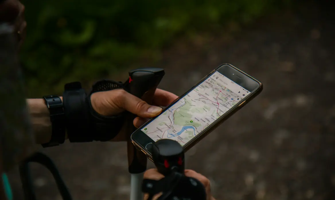
Spatial data is only useful when it is clean and easy to reach. These are the capabilities we bring to mapping work.
Department, commune and communal section boundaries, properly linked.
Interactive maps with filters, tables and downloadable results.
Define sales zones, service areas and nearest-site rules.
Phone-based data collection with GPS points and photos.
Telegram tools that answer where something is, instantly.
Validation and publishing steps that keep spatial data clean.
Maps cut through long tables and long meetings. Here is what organizations gain once their data has a place on the map.
 Field staff get location answers on a phone, without a GIS specialist.Planning teams see gaps and overlaps in coverage at a glance.Boundary data stays consistent, so every report uses the same geography.
 Testimonials

 5.0
The team asked about our process before proposing any software. The system now matches how our staff actually work.

Operations Director
Distribution company
Phone : +509 3850 5152
Email : contact@atraxcompany.com
Monday - Friday : 10:00 - 20:00


Contact Us


Newsletter